Mental maps are representations of what a person “knows” about a place. This knowledge comes from first-hand experience and impressions of places from family, friends, school, the wider culture, and various forms of media. Mental maps blend objective information, subjective impressions and opinions. In the classroom, mental mapping helps students understand how individuals visualize the world in both similar and different ways.
Subscribe to the blog to get more articles like this one sent to your inbox each week.
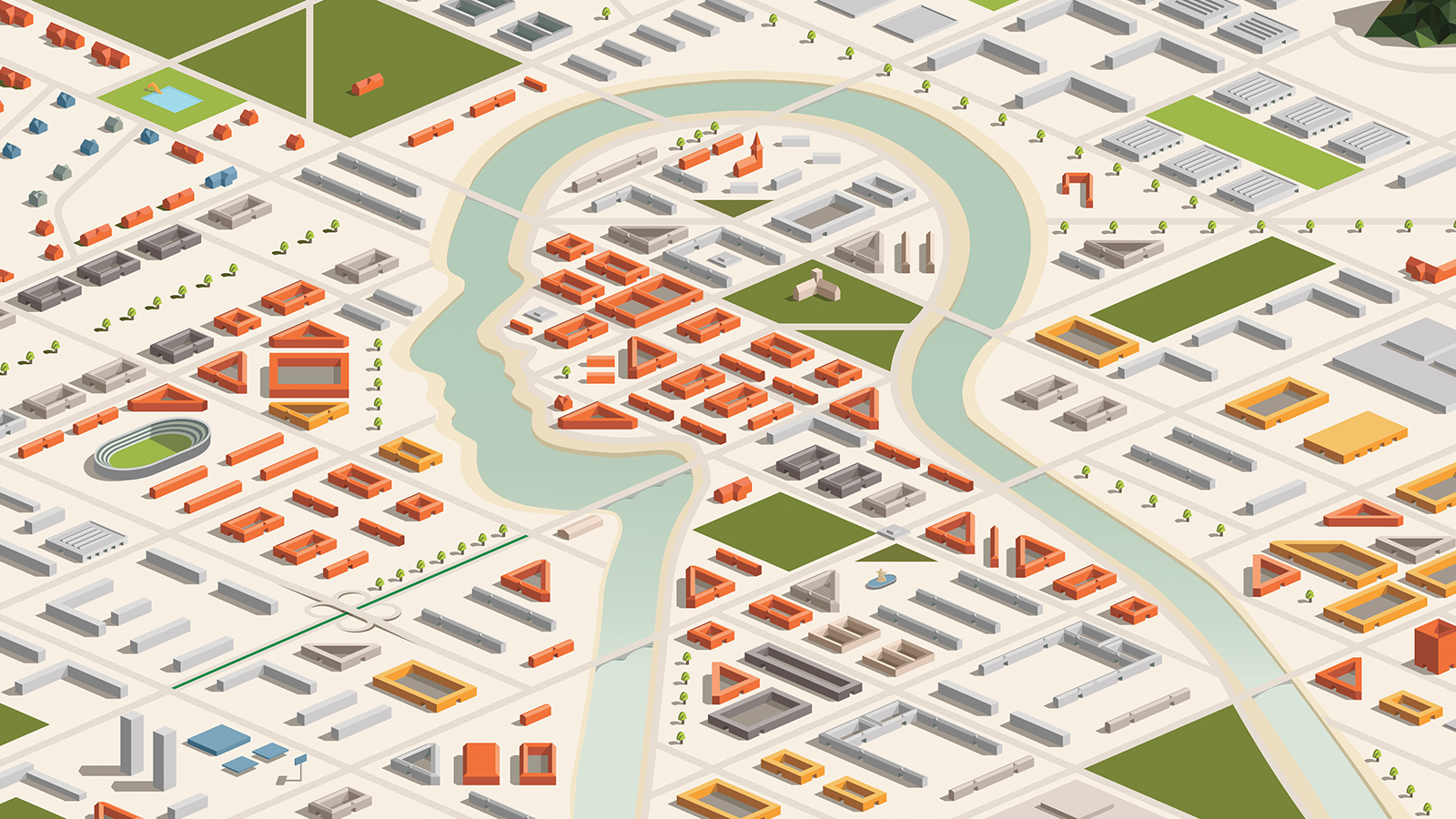
1. Start with local environments
Ask each student to draw or outline a map of the school and label her/his route throughout the day from the time they arrive until they leave their last class. Then, ask groups of students to compare the features on their maps. What features did almost everyone include? What features are unique to just a few maps? Discuss why different people see and experience the same building in different ways.
Next, ask students to compare their maps to “official” school maps such as the emergency exit map and the map for visitors. Highlight how the purpose of maps and their creators vary just like other primary source or printed media. Explore what elements on the printed school maps are not featured on individual student maps and why.
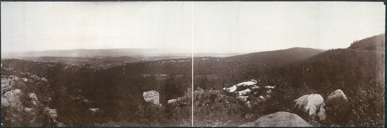
Photo: Library of Congress
2. Move from the built environment to the historical and natural environment
Tell students to imagine being zapped back in time 400 years. Imagine being surrounded by the American wilderness of early 1600s instead of classrooms. Discuss how the natural landscape might have appeared. List the features of the local natural environment that might have been used as reference points for journeys, such as streams, rivers, forests, deserts, hills, plants, or rocks. Now ask how they would to draw a map from their current location to their home or other destination in your area without landmarks created by humans. In other words, no roads, buildings, or street signs can appear on this “frontier” map.
This activity fits especially well in history lessons on exploration, migration, and frontier settlements. Follow-up with discussion of the transportation used in the early 1600s. Maps and travel differed when the primary forms of frontier travel in a roadless and unmapped landscape were by foot or horseback. Highlight how rivers and oceans were “roads.”
Finally, demonstrate how maps and words describing landmarks and journeys change as transportation technology evolves. Brainstorm how GPS navigation is changing how we perceive travel and describe to others how to travel from one place to another.
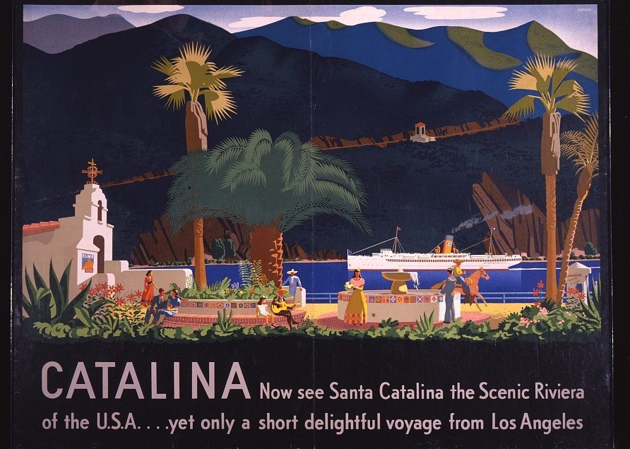
Photo: Library of Congress
3. Tourism and mental maps
Ask students to imagine, draw, and label a map of the location of their dream vacation. Then, compare and contrast the mental maps with real maps of the same location. This activity can be used to introduce how advertising shapes our perception of other places.
Ask students to analyze examples of tourism advertising to assess how locations are idealized. For example, advertisements for beach resorts usually feature an empty beach framed by natural vegetation. In reality, beachfronts are crowded with people, hotels, restaurants, tourist shops, and vehicles. Tourism advertising glosses over the local people and the economic or political realities of daily life. Follow-up by asking student to explore advertising and images on the internet of their own community and how those images contribute to the mental maps of outsiders.

4. Mapping stereotypes
Explore stereotype or judgmental maps and maps created from internet search results. Many of these appear on popular social media sites. A common theme of this category of mental maps is how people from one nation, state, or culture view people from other places. An example of one of these maps provides an excellent introduction to a lesson on how stereotypes are created and reinforced.
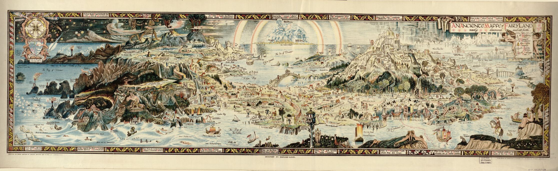
Photo: Library of Congress
5. Get interdisciplinary with literary mental maps
Maps are common features in social studies lessons, but mental maps also common in literature. For example, J. R. R. Tolkien created real maps of an imaginary Middle-earth depicting the locations and landscapes for the journeys of hobbits, elves, dwarves, orcs, and humans. The wanderings of Odysseus in the ancient Greek epic; Dante’s trip through Paradise, Purgatory, and the Inferno; Thomas More’s Utopia; and famous American journeys such as those of Huckleberry Finn and Jim have been depicted with maps. Ask students to map the landscape of their favorite novel, television show, or video game. Then, explore how their maps combine the details described in the literary work with their own experiences.
Discover more benefits of teaching geography and using maps to expand the classroom.
Cynthia W. Resor was a middle and high school social studies teacher before earning her Ph.D. in history. She is currently a professor of social studies education at Eastern Kentucky University. She is the author of a blog, Primary Source Bazaar, and two books on teaching social history themes using essential questions and primary sources: Investigating Family, Food, and Housing Themes in Social Studies and Exploring Vacation and Etiquette Themes in Social Studies.