
In today’s globally connected world, students need to understand how people, places, and environments interact. Geographic literacy—knowing how to read maps, analyze spatial data, and think critically about the world—is essential for becoming informed citizens. Yet, geography often takes a back seat in elementary classrooms, especially in the early grades. When it is taught, it may be reduced to memorizing map features or locating countries on a globe—missing the deeper, more meaningful thinking that geography can unlock.
For students in bilingual programs, the challenge and opportunity are even greater. These students are not only learning about the world—they’re doing so in two (or more) languages. Instructional resources that support both content learning and language development are critical. Bilingual atlases provide a strong foundation for building vocabulary, developing map-reading skills, and fostering spatial reasoning—all while supporting dual-language development.
With the right support, atlases become more than just reference tools. They help build background knowledge that students can carry into reading, writing, social studies, and science. Bilingual atlases, in particular, allow students to draw connections between home language and school language, and between familiar environments and faraway places. They provide visual anchors for new concepts and open the door to meaningful conversations in both English and Spanish.
Benefits of Dual Language Immersion Programs
Dual Language Immersion (DLI) programs offer a well-documented path to bilingualism, biliteracy, and cultural competence. Students enrolled in these programs learn academic content in two languages, which enhances cognitive flexibility, strengthens literacy, and builds a greater awareness of diverse cultures.
Geography is a powerful content area to support dual-language learning. It is visual, interdisciplinary, and tied to students’ lived experiences. It provides real-world contexts for vocabulary development, sentence construction, and cross-linguistic comparisons. By using bilingual atlases, educators can design activities that build language and content knowledge together, engaging students in thinking, talking, and writing about the world in both English and Spanish.
How Atlases Enhance Bilingual Instruction
Atlases provide rich visual supports that are especially beneficial for bilingual learners. From maps and photographs to timelines and diagrams, these resources allow students to access information in multiple modes. Because Nystrom Elementary Atlases are available in both English and Spanish, they can be used for dual-language instruction, language comparisons, or small-group scaffolding.
Here are a few strategies for how teachers might use bilingual atlases in their classrooms:
- Preview vocabulary in both languages before reading a new section of the atlas.
- Use maps as prompts for structured language practice, such as “I see…” or “Veo…” sentence frames.
- Ask students to compare descriptions of geographic features in English and Spanish to support transfer of key terms.
- Pair students for partner reading, with each student reading a section in a different language and summarizing for the other.
- Incorporate writing prompts that ask students to describe what they see on the map or reflect on how a place compares to their own community.
Overview of Bilingual Nystrom Elementary Atlases with Classroom Strategies
Kindergarten: The World Around Me / El Mundo a mi Alrededor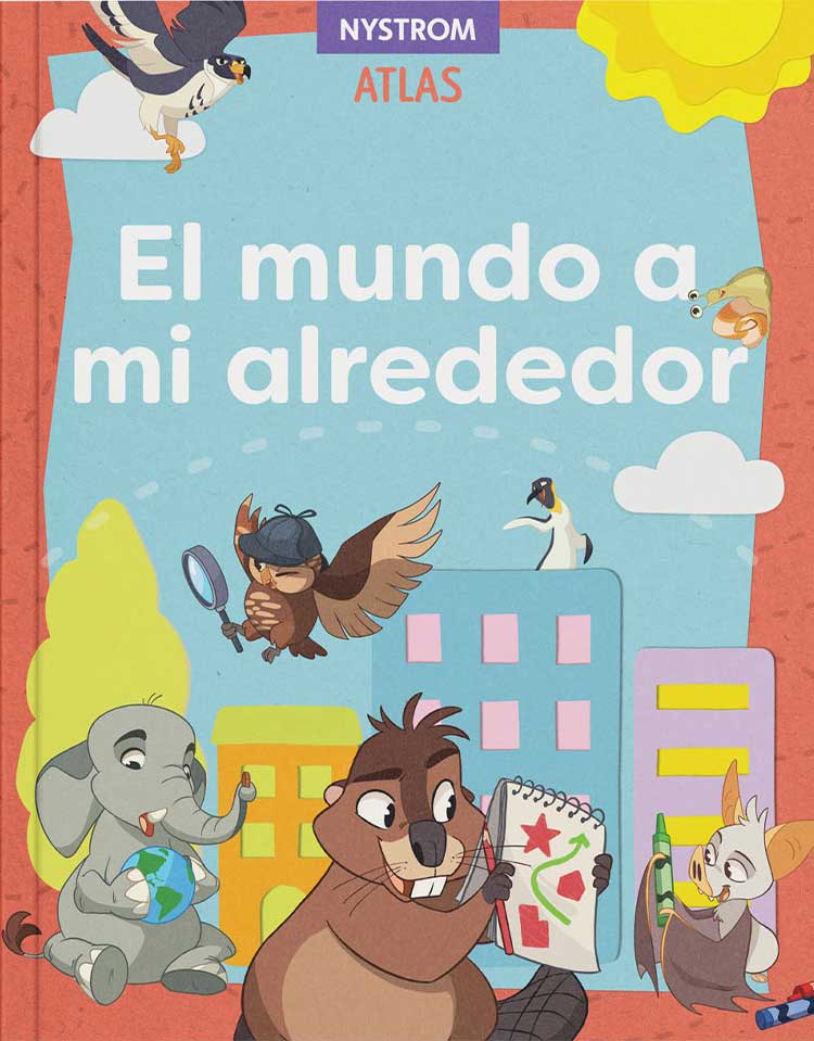
Content Focus: Family, home, school, seasons, and basic map features
Bilingual Strategy: Use the atlas’s simple visuals and concepts for interactive read-alouds in both languages. Ask students to point to images while you describe them in English and Spanish (e.g., “Aquí está la escuela. This is the school.”). Label a classroom map using student-generated words in both languages.
Grade 1: See the World / Mira el Mundo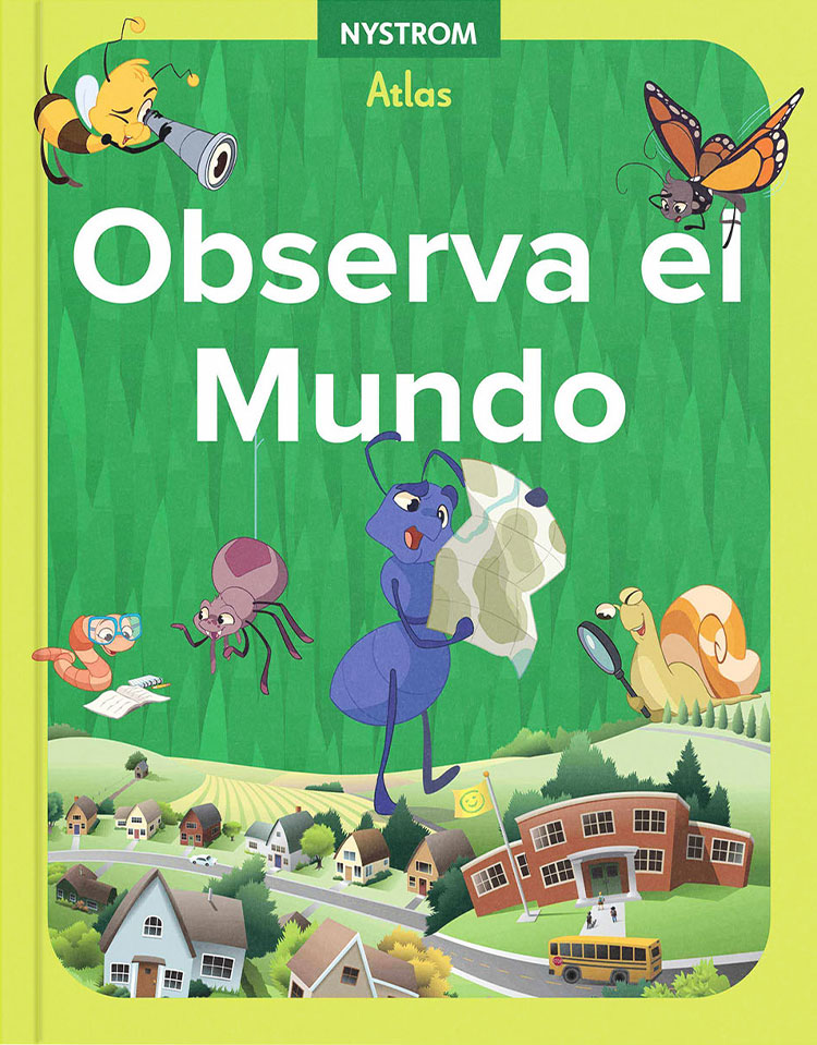
Content Focus: Homes, neighborhoods, land and water, map symbols, community helpers
Bilingual Strategy: Use a “dual-language word wall” as you explore the maps—add words like “lake/lago” or “neighborhood/vecindario” with visuals. Have students practice naming map features in both languages using sentence frames like “I see a ______ / Yo veo un(a) ______.”
Grade 2: Our Changing World / Nuestro Mundo Cambia
Content Focus: Local and world communities, change over time, jobs, transportation, and communication
Bilingual Strategy: Do a compare/contrast graphic organizer in English and Spanish about how life is different in two places shown in the atlas. Encourage oral discussion in pairs—students describe what they notice using both languages to support each other.
Grade 3: Our Place in the World / Nuestro Lugar en el Mundo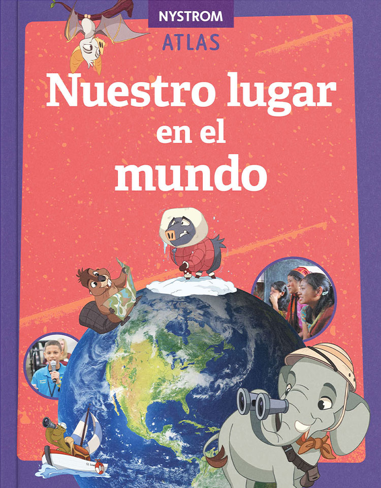
Content Focus: Communities, environment, government, economy, continents and oceans
Bilingual Strategy: Use the atlas for a collaborative inquiry project—assign students a continent to explore in pairs or small groups. One partner researches in English, the other in Spanish. Students present bilingual posters or slides showing what they learned using visuals from the atlas.
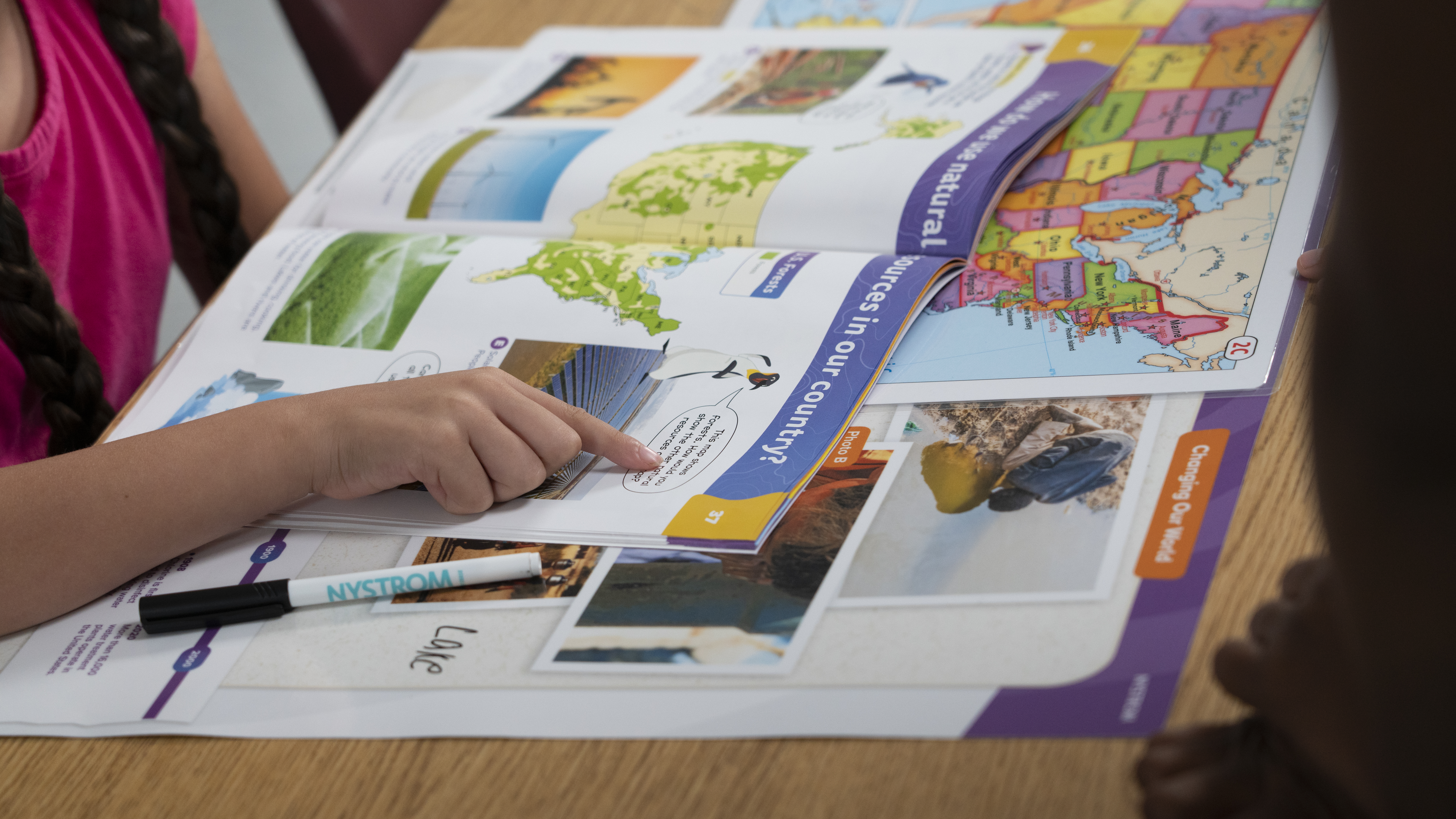
Grade 4: Our Country’s Geography / La Geografía de Nuestro País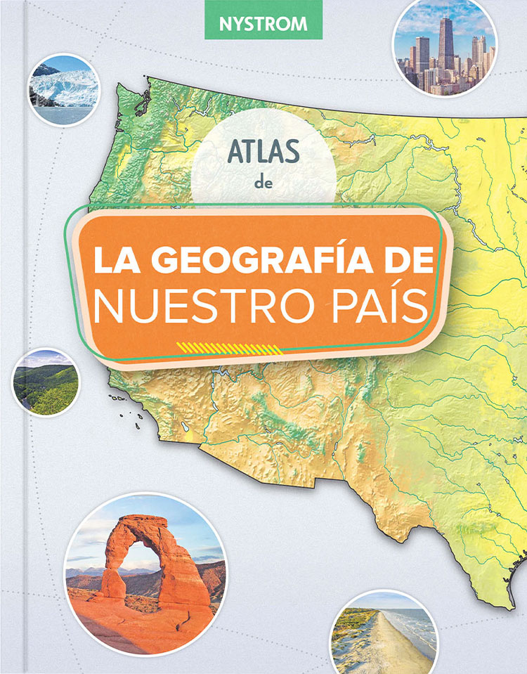
Content Focus: U.S. regions, landforms, climate, natural resources, transportation, and technology
Bilingual Strategy: Use jigsaw reading groups, where each group reads about a U.S. region in one language, then teaches the rest of the class about that region using visuals and vocabulary from the atlas. This promotes peer teaching and cross-linguistic transfer.
Grade 5: Our Country’s History / La Historia de Nuestro País
Content Focus: U.S. history from pre-colonial times to the present, historical maps, timelines, and cultural contributions
Bilingual Strategy: Have students create dual-language timelines based on the historical events in the atlas. Include key terms and short descriptions in both languages. Encourage students to research a person or event and present a bilingual summary to the class.
Invest in Tools that Support Language and Literacy—Across Subjects
Bilingual atlases are more than supplementary tools—they are central to supporting academic growth in multilingual classrooms. By presenting geographic concepts through both visuals and accessible language, they give students the context and confidence to engage deeply with social studies and beyond. When used with intentional strategies, atlases build background knowledge, encourage inquiry, and expand students’ ability to communicate complex ideas in both English and Spanish.
For bilingual programs looking to strengthen both content learning and language acquisition, Nystrom Elementary Atlases offer an ideal blend of structure, flexibility, and student-centered design. With one resource, teachers can meet language goals, social studies standards, and student curiosity all at once.
Explore the full collection here.
Take geographic literacy one step further with digital activities
Try a free 30-day trial of Nystrom World today
Dr. Aaron Willis is the Chief Learning Officer for Social Studies School Service. He works with districts around the country to provide resources, strategies, and training to help teachers make meaningful connections with their students. He can be reached via email at [email protected].