Developing geographic literacy is essential for fostering critical thinking, spatial awareness, and a deeper understanding of historical events. Hands-on mapping programs provide students with the opportunity to not only learn about where history happened but also engage with the content in a way that builds key skills like analysis, synthesis, and problem-solving. By emphasizing interactive and visual learning, educators can create dynamic learning experiences that resonate with students.
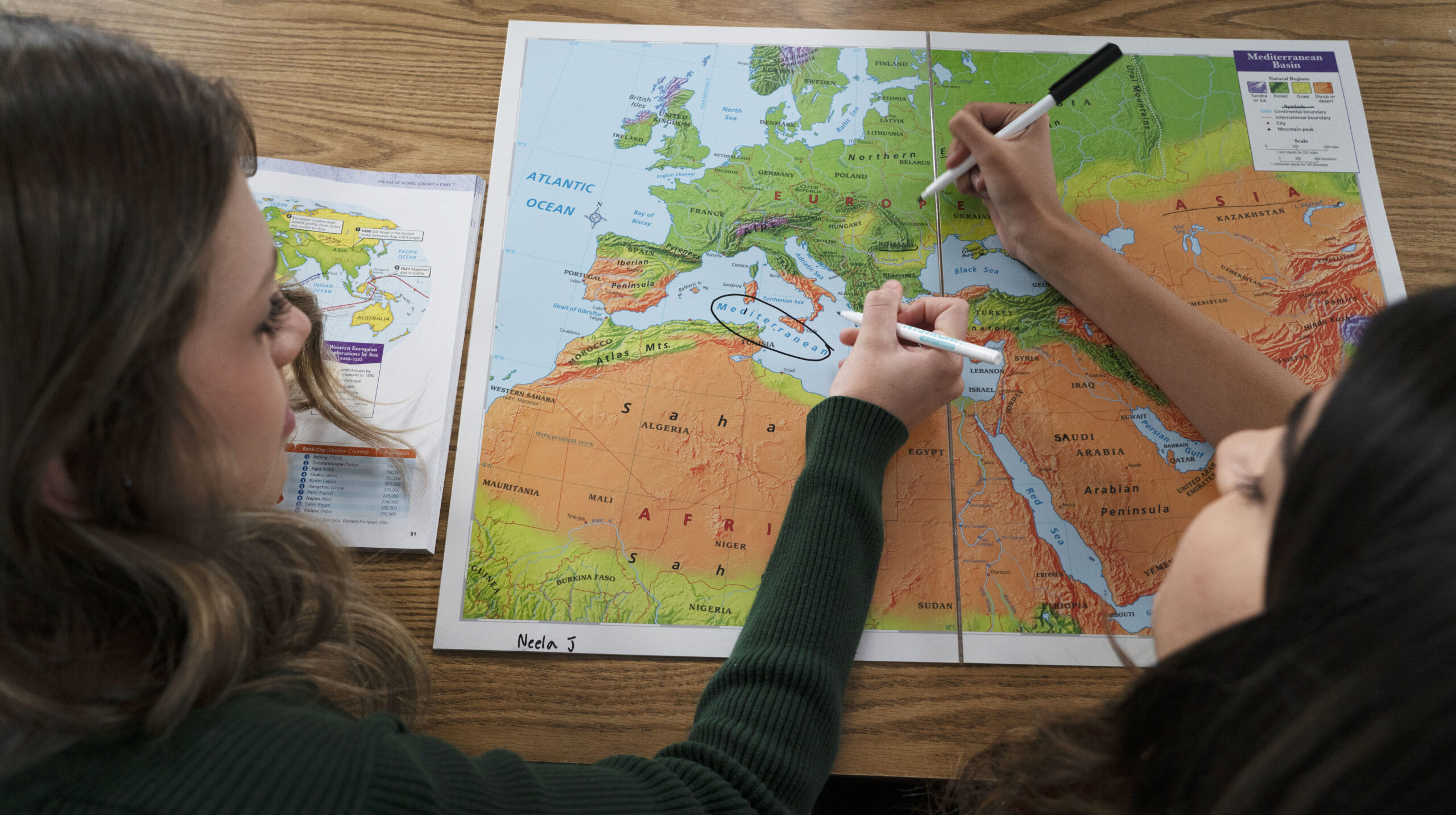
Mapping programs leverage the use of atlases as foundational reference tools, combined with laminated, erasable maps for student-led mapping activities. Working in small groups, students use the atlas to locate geographic elements such as trade routes, settlement areas, or environmental features. They assess the information, analyze patterns, and collaboratively map these elements to develop a comprehensive understanding of historical and geographic contexts. This process helps students hone their skills in data interpretation, spatial reasoning, and teamwork.
Below, I explore three powerful learning programs: Mapping United States History, Mapping World History, and Mapping Our World. Each offers a unique approach to connect students with the past through the lens of geography, enhancing their understanding of events, trends, and perspectives via hands-on mapping experiences.
Benefits of Showing Where History Happened
Mapping tools provide a tangible context for historical events, helping students connect abstract concepts to real-world locations. By incorporating mapping activities, educators can:
- Foster spatial reasoning: Students learn to interpret and analyze maps, improving their ability to understand geography and its influence on human activity.
- Encourage critical thinking: Visualizing events geographically invites students to ask questions about cause and effect, relationships, and patterns.
- Promote engagement: Interactive maps provide a hands-on experience that captures students’ interest and makes history feel more relevant.
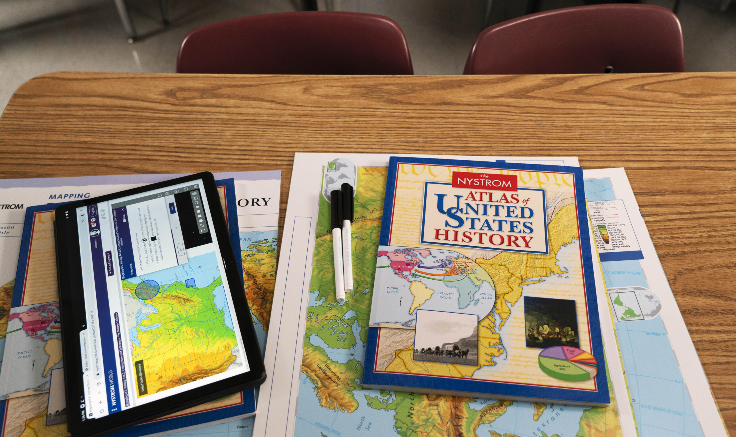
Mapping United States History
Mapping U.S. History focuses on the geographic dimensions of America’s development, offering:
- Interactive timelines and maps: Students can explore how events like westward expansion, the Civil War, and the Civil Rights Movement unfolded across the country.
- Skill-building activities: Lessons are designed to help students analyze primary sources, draw connections between geography and history, and synthesize information.
- Accessible content: With materials tailored for various grade levels, this program ensures all students can engage meaningfully.
In the lesson on Westward Expansion, students use an atlas to explore the geographic and historical aspects of westward expansion. Using laminated maps, they trace the routes of the Lewis and Clark expedition and mark key landmarks such as rivers and mountains. Students work in small groups to discuss how these geographic features influenced settlement and migration patterns. They conclude by presenting their findings to the class, fostering collaboration and critical thinking.
In Civil War Battles, students examine key battles of the Civil War by using an atlas to locate sites such as Gettysburg and Antietam. On the maps, they outline troop movements and annotate the terrain’s role in the outcomes of these battles. Each group researches the challenges faced by soldiers and the geographic obstacles encountered, creating a deeper understanding of the war’s complexities.
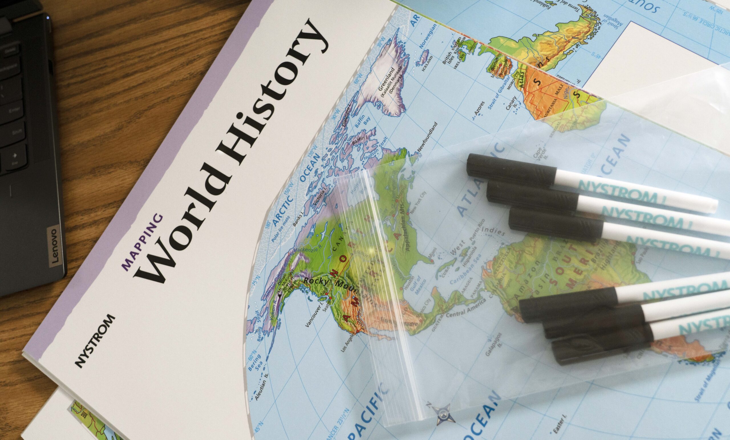
Mapping World History
Mapping World History broadens students’ perspectives by focusing on global events and trends, such as the rise of ancient civilizations, the spread of major religions and trade networks, and the impact of imperialism and decolonization.
This program emphasizes:
- Global connections: Students see how geography influenced interactions between cultures and regions.
- Critical analysis: Activities encourage students to compare maps from different time periods and assess how geographic factors shaped historical outcomes.
- Engagement: The program’s vivid maps and interactive features make complex global narratives easier to understand.
The Silk Road lesson asks students to identify key cities and trade routes along the Silk Road using the atlas. They mark the routes on laminated maps and add symbols to represent traded goods such as silk, spices, and precious metals. Students then discuss how geographic barriers like mountains and deserts impacted trade and cultural exchange, enhancing their understanding of global interconnectivity.
In The Persian Wars students use the atlas to explore the geography of the Persian Wars. On the maps, they outline the territories of the Persian Empire and Greek city-states. Students annotate the maps with battle sites and troop movements, analyzing how geography influenced the outcomes of conflicts like the Battle of Marathon. This lesson emphasizes cause-and-effect relationships and critical thinking.
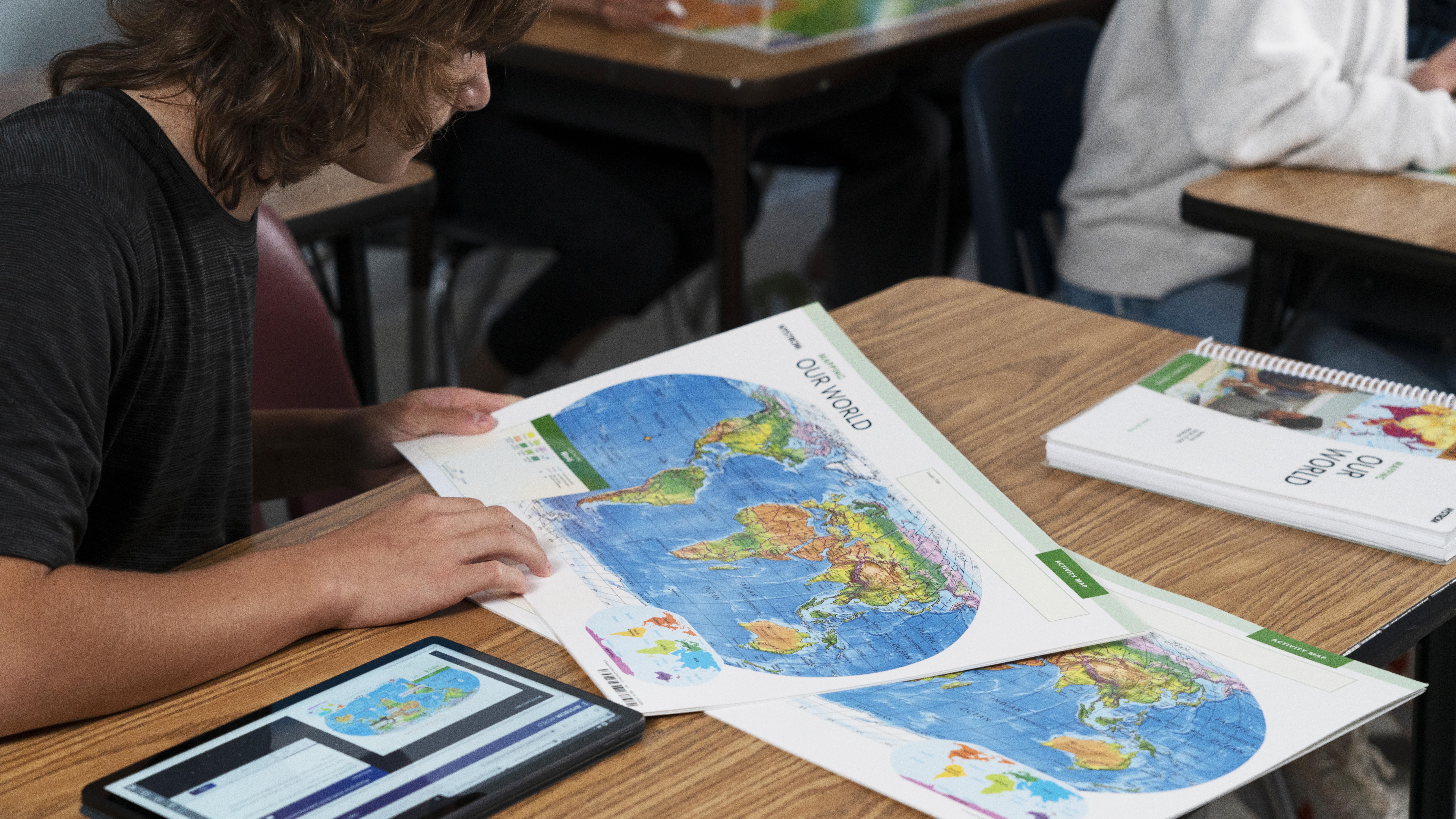
Mapping Our World
Mapping Our World bridges the gap between history and contemporary geography by exploring environmental changes over time, population trends and urbanization, and global challenges like climate change and migration.
Key features include:
- Interactive case studies: Students investigate real-world issues through a geographic lens, such as examining deforestation in the Amazon or the impact of rising sea levels.
- Cross-disciplinary integration: Lessons connect geography with science, economics, and current events, fostering a holistic understanding of the world.
- Student-led inquiry: The program encourages students to ask their own questions, conduct research, and present findings.
In the lesson on Urbanization Trends, students use the atlas to identify cities experiencing rapid growth, such as Mumbai and Lagos. On laminated maps, they chart the expansion of these cities over time, using different colors to represent various decades. Students then compare their findings with data on environmental impacts, discussing how urbanization affects resources and sustainability.
Climate Change Impacts focuses on rising sea levels. Students use atlases to locate vulnerable regions, such as coastal cities and island nations. They mark these areas on maps and annotate potential consequences, such as flooding and displacement. Groups then propose mitigation strategies, encouraging critical thinking and problem-solving.
Hands-on mapping programs empower students to develop critical skills while gaining a deeper appreciation for the interplay between geography and history. By engaging in activities like tracing migration patterns, mapping trade routes, and exploring urban growth, students learn to contextualize historical and contemporary events geographically.
These programs emphasize collaborative learning, where small groups use atlases and erasable maps to synthesize information and create visual representations of their findings. Such tasks build essential skills in teamwork, spatial reasoning, and data analysis while fostering a deeper connection to the material. Whether students are mapping the Silk Road, exploring environmental changes, or analyzing westward expansion, these activities make learning both meaningful and memorable.
Enhance student learning with digital hands-on geography activities
Try a free 30-day trial of Nystrom World today
Dr. Aaron Willis is the Chief Learning Officer for Social Studies School Service. He works with districts around the country to provide resources, strategies, and training to help teachers make meaningful connections with their students. He can be reached via email at [email protected].