In today’s interconnected world, geographic literacy is more essential than ever, empowering students to make sense of global dynamics, cultural diversity, and environmental changes. An atlas serves as a unique tool that fosters critical thinking, spatial awareness, and data interpretation skills. By guiding students through visual storytelling and spatial relationships, atlases enable educators to teach more than geography—they help build foundational literacy skills, including reading comprehension, vocabulary, and speaking and listening.
Geographic literacy isn’t merely about memorizing places on a map; it’s about understanding our world and our place within it. Students who are geographically literate are better equipped to understand history, navigate current events, and engage thoughtfully with global issues. Early exposure to atlases helps students develop an awareness of environmental interdependencies, and a grasp of scale—all of which are foundational to geographic literacy. Additionally, using atlases across grade levels enhances students’ ability to decode symbols, read keys, interpret graphs, and analyze patterns.
Elementary Atlases
At the elementary level, Nystrom Atlases provide a well-rounded introduction to geographic concepts while also building literacy skills tailored to young learners. Each atlas is designed to be age-appropriate and visually engaging, gradually introducing more complex concepts and vocabulary as students progress through the grades. Here’s how specific Nystrom Atlases support literacy and geographic understanding at each grade level:
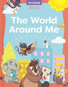
Kindergarten: The World Around Me
The World Around Me uses simple, colorful maps and symbols to introduce young learners to basic geographic concepts such as “here” and “there.” The visuals allow students to start associating symbols with real-world features, fostering early reading and interpretation skills. The simplicity of this atlas makes it an ideal tool for introducing directional language and spatial thinking. Foundational skills include: learning how maps show information; identifying symbols on maps; comparing a globe and a map; identifying different types of homes; describing their own neighborhood; and locating their state on a U.S. map.
Grade 1: See the World
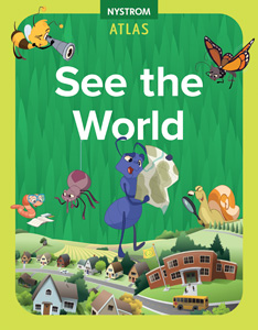 Building foundational skills, See the World introduces more detailed maps and visual representations of places and environments. This atlas encourages students to think about location in more defined terms, reinforcing literacy skills such as understanding labels, symbols, and legends. Teachers can use this resource to engage students in discussions about familiar places (like neighborhoods and schools) in relation to the world around them. Foundational skills include: identifying symbols on a map; interpreting and comparing photographs and maps; identifying different types of homes; identifying changes in a neighborhood; locating their state on a map; and, describing differences in seasons.
Grade 2: Our Changing World
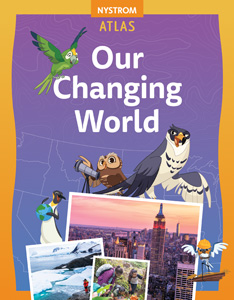 At this stage, students are introduced to broader concepts, such as regions and continents, which deepen their understanding of the world beyond their immediate surroundings. Our Changing World encourages comparative thinking, helping students draw connections between different places and cultures. This atlas supports literacy by guiding students in identifying main ideas and making inferences based on map information. Foundational skills include: interpreting and comparing photographs and maps; identifying places in a community; identifying community changes; using information to answer questions; drawing conclusions from atlas resources; and learning how maps show information.
Grade 3: Our Place in the World
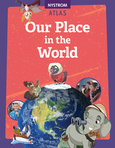 Here, students encounter more complex maps and thematic representations (such as population or climate maps). Our Place in the World fosters analytical skills as students begin to interpret more detailed information and draw conclusions. The atlas enhances reading comprehension and analytical skills, as students learn to navigate between different sections and apply map-reading techniques to various topics. Foundational skills include: interpreting a variety of maps and photographs; choosing appropriate information to answer questions; drawing conclusions from atlas resources; learning to use an atlas as a reference tool; and using critical thinking skills.
Grade 4: Our Country’s Geography
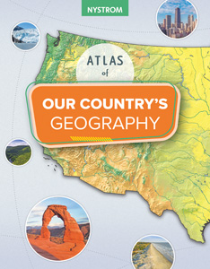 The Grade 4 Atlas shifts focus to the geography of the United States, introducing regional divisions and the characteristics of different U.S. regions. Students explore physical, political, and cultural aspects of the country, learning about regions such as the Northeast, Midwest, South, and West. The Atlas of Our Country’s Geography aligns well with social studies curricula, helping students build connections between geography and regional differences in climate, population, and culture. By analyzing maps and data specific to each region, students develop chronological thinking and contextual analysis skills. Foundational skills include: comparing maps, globe views, and other visual materials; becoming familiar with the five themes of geography; applying themes and concepts while interpreting reference materials; using social studies skills to gather information; and identifying the features of each region of the United States.
Grade 5: Our Country’s History
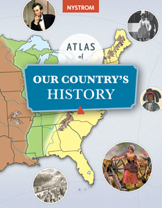 For fifth graders, this atlas combines geography with American history, providing historical maps that illustrate key periods such as the founding of the colonies and the expansion of the United States. Students examine the progression from the original thirteen colonies through westward expansion, using maps to trace events like the Louisiana Purchase and the Oregon Trail. The Atlas of Our Country’s History encourages critical thinking as students interpret maps that reveal changes over time, including settlement patterns, territorial growth, and state formation. By engaging with these historical maps, students deepen their understanding of how geography has shaped the nation’s development. Foundational skills include: learning to use an atlas effectively; becoming familiar with the fundamental themes of history and geography; becoming familiar with basic concepts in other areas of social studies, such as economics and sociology; and applying these themes and concepts to the study of our country’s history.
Each of these atlases is designed to grow with students, scaffolding knowledge and skills that support both geographic and general literacy development. By the time students complete elementary school, they have a solid foundation in geographic concepts, which are essential for their continued studies.
Secondary Atlases
Building on the foundations set in elementary grades, Nystrom’s secondary atlases introduce students to more complex geographic concepts, helping them analyze global data, understand historical events, and view contemporary issues in a geographical context. At the secondary level geographic literacy involves understanding how systems interact globally, how places are connected, and the implications of human activity on a worldwide scale. Here’s how each secondary atlas supports these critical skills:
World Atlas
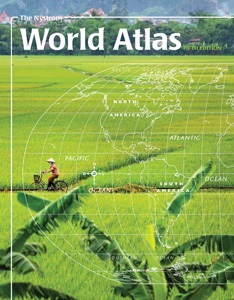 The Nystrom World Atlas, designed for middle school students, helps deepen knowledge of the continents, using visually engaging maps, infographics, and primary sources. With features such as political and thematic maps and sculptural-relief (elevation) maps, students gain a foundation for understanding the geographic themes essential for global literacy. By exploring resources like land cover maps and infographics, students can develop skills in data analysis and primary source evaluation, preparing them to interpret global trends and issues critically.
Desk Atlas
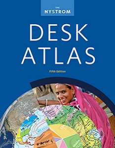 This 240-page student Desk Atlas, designed for high school students, helps them to analyze global data from a variety of perspectives. With detailed maps and infographics, students can explore themes like climate, population growth, and ethnic composition, which allows for deeper discussions on sustainability, resource distribution, and cultural diversity. The atlas includes shaded relief maps and thematic maps of all continents, encouraging students to examine data critically, develop an understanding of complex geographic themes, and discuss ways to build a better world. Every unit includes an “Issues Today” section which offers students multiple perspectives on critical issues facing our contemporary world. Sample topics include: Immigration, Deforestation, Refugees, Urbanization, and Sea Level Rise.
Atlas of United States History
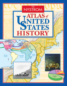 This atlas brings U.S. history into geographic focus, enabling students to contextualize historical events spatially. The Atlas of United States History includes timelines, full-color maps, and images that guide students from one idea to the next. Covering topics like colonial America, westward expansion, and industrialization, this atlas builds connections between geography and history. By synthesizing evidence from text and visual resources, students strengthen their understanding of how geographic factors have influenced historical developments in the United States.
Atlas of World History
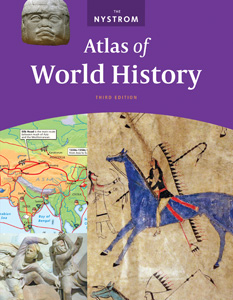 The Atlas of World History provides students with a journey through key historical events in a global context. Covering eras from early civilizations to modern times, it includes timelines and global event comparisons that help students connect past events with present-day issues. Each unit includes a “Historical Issues Today” section, linking historical themes to contemporary challenges. By exploring these connections, students develop a robust understanding of how history and geography interact, equipping them with the geographic literacy necessary for informed decision-making in today’s world.
State-specific Atlases
 Nystrom also offers state-specific historical atlases for Georgia, New York, North Carolina, and Texas. For each state atlas the organization and progression reflect the state standards (which are correlated) and explores the diversity and history from indigenous histories through to modern day. Includes state symbols, government and economic features. Fascinating facts, and notable state leaders are featured throughout. “Did You Know?” blurbs include interesting information that students may not otherwise come across.
Final Thoughts
Atlases are invaluable tools that build essential literacy and critical thinking skills that help students understand and engage with the world. Starting in elementary grades, atlases like The World Around Me and See the World introduce young learners to foundational geographic concepts through engaging visuals and simple maps, gradually advancing to more complex topics like U.S. regions and historical growth in the Atlas of Our Country’s Geography and the Atlas of Our Country’s History. Each atlas is designed to grow with students, reinforcing spatial thinking, comparison skills, and data interpretation in spiraling age-appropriate ways.
As students progress to secondary education, Nystrom’s atlases deepen their understanding of global and historical themes. The Desk Atlas and World Atlas enable students to analyze world data, comprehend geopolitical issues, and consider global interactions from multiple perspectives. Meanwhile, the Atlas of United States History and Atlas of World History contextualize history geographically, demonstrating how geography has influenced pivotal events and continues to shape our world.
By equipping students with the ability to analyze, synthesize, and interpret geographic and historical data, atlases empower students to make informed decisions, understand complex global relationships, and appreciate the interconnected nature of our world. This comprehensive approach—spanning elementary through secondary education—ensures that students develop a deep, lifelong geographic literacy that prepares them to navigate and contribute to an increasingly interconnected and complex world.
Enhance student learning with digital hands-on geography activities
Try a free 30-day trial of Nystrom World today
Dr. Aaron Willis is the Chief Learning Officer for Social Studies School Service. He works with districts around the country to provide resources, strategies, and training to help teachers make meaningful connections with their students. He can be reached via email at [email protected].
