If you could take your students on a field trip anywhere, where would you go? What kinds of things would you like them to see or to learn on this quest?
Maybe you would take them back to a historical time period or specific event so that they could see it with their own eyes and experience it for themselves. Perhaps, you would take them to a series of locations past, present, or both where they would see interact with historical or current events. Well, you can do just that without ever having to leave your classroom. How? Try using maps!
Combine history and geography
I often take my students to places in their own community, around the globe, or back in time. One way that I do that is by combining geographic skills with historical study. Geography isn’t just for geographers or geography classes. It plays an important part in each social studies class. Some ties are more obvious than others. All ties are important. Studying geography teaches young people a wide range of useful skills for the marketplace, including critical thinking and problem solving that translate well to the workforce. Some of the fastest growing careers involve the use of geographic skills including geographic information systems. These systems are based in deep reading of maps for data.

Use a variety of map resources
One way that I transport my students to different locations, so that they can use their own analytical skills, is by using various types of maps. Maps are excellent and fun to use primary sources. Reading them allows students to practice critical thinking and problem solving while making real world applications. A great tool to use in this activity is to use the non-fiction reading text skill compare and contrast along with a graphic organizer. One of my favorites is the tried-and-true Venn-Diagram. Another that works well with this activity is the Spider diagram.
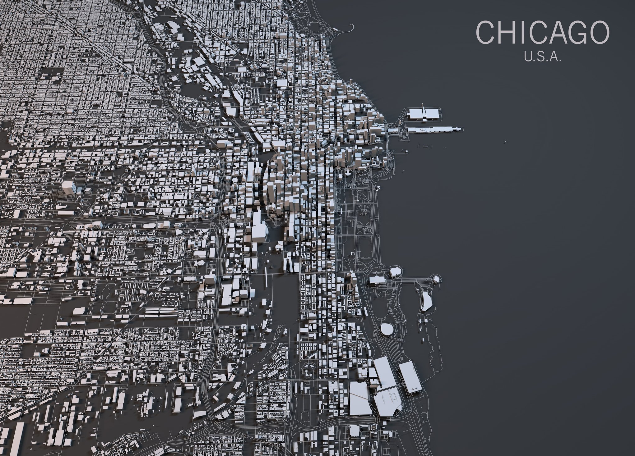
The first step in this process is to find the types of maps you want to use for the exercise. There are many different types of maps that can be used for comparison. Sometimes, I use this to look at 2 different historical events and have students discover how they are alike or what makes them different. I also use this to show a particular location and how it has changed over time. I often combine technology with this activity. For example, I find historical maps of locations and then asked students to find a digital map of the same location to make connections between the past and present. The same can be done with any type of map including population density maps, political and physical maps. I have my students “travel” to the location using a physical map and explore advantages and disadvantages for living there. They extrapolate information to form an inquiry about the population size of the area in both the past and present. Then, we look at current political and population maps for reflection on their hypotheses.
Track history through time geographically
I also have students use maps to track events. When we study the Transcontinental Railroad, students create a digital map using free online mapping tools. They plot the course of the railroads that joined to form the first railroad to span our continent. Then, we add layers while studying about GIS principles. Students add physical features that would have played a role in the building of the railroad. They also add in cultural features such as towns, ranches, and locations of Native Americans. Students reflect on the impact all would have had on the railroad. I have also brought this to the community level and had students map the development of our community from past to present. They trace historical events and create a roadmap for potential future development based on land use.
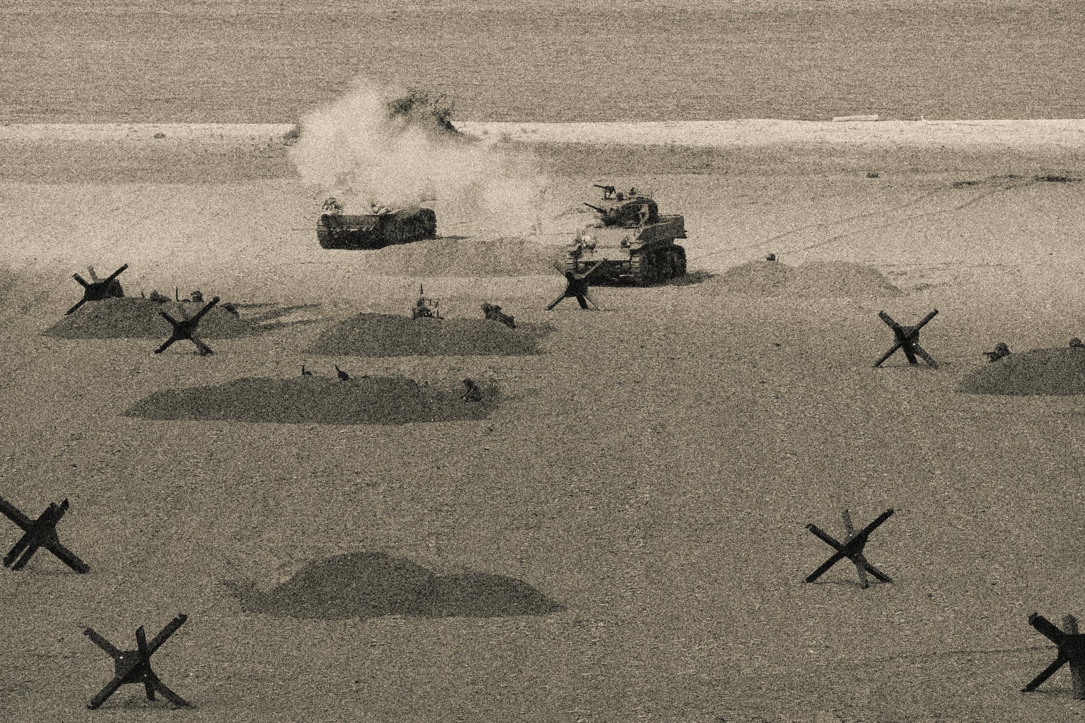
 Photo: Omaha Beach; Normandy, France; D-Day / iStock by Getty Images
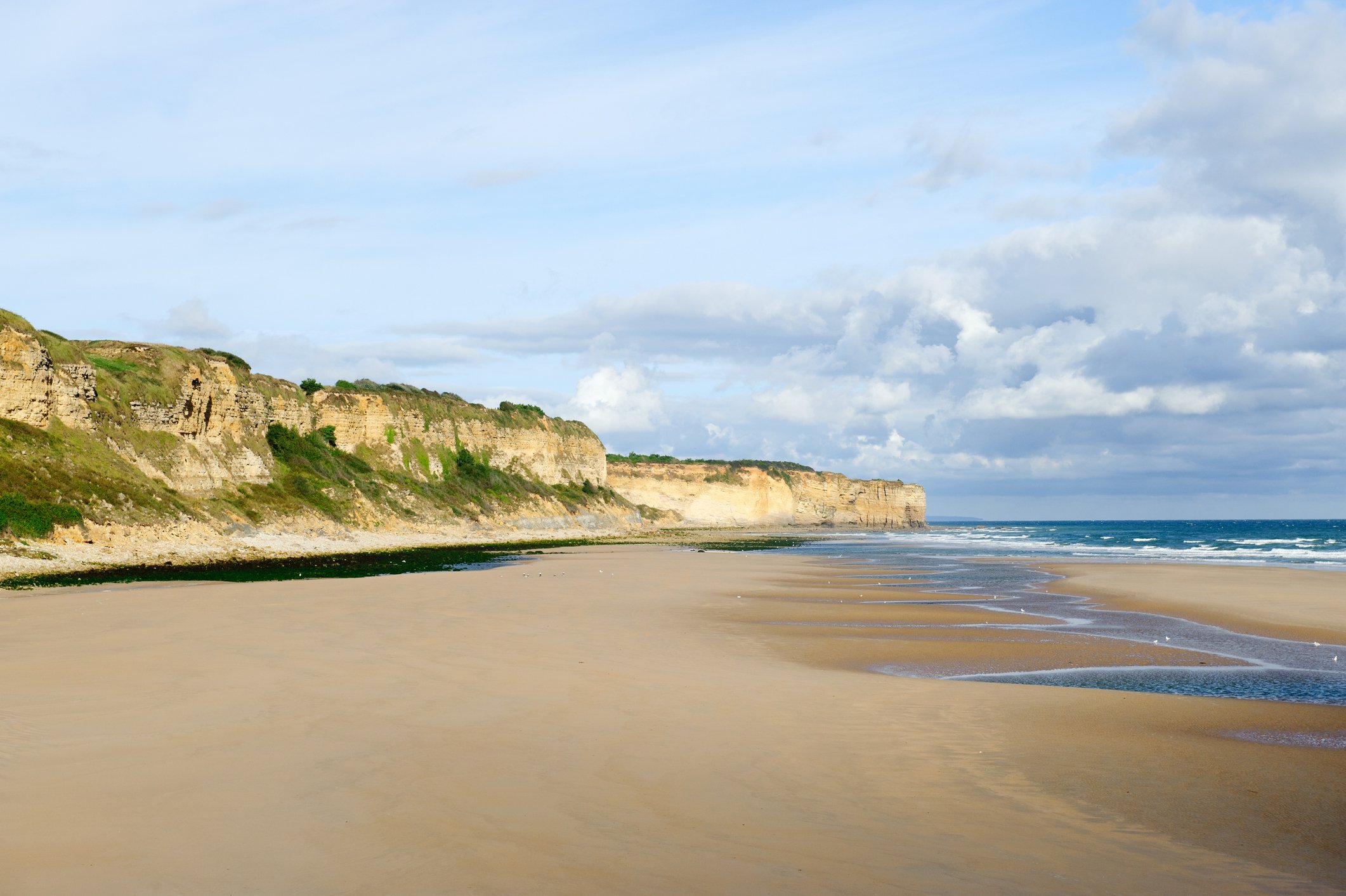
 Photo: Omaha Beach; Normandy, France; Present / iStock by Getty Images
Compare and contrast using primary sources
Another activity I love to do when comparing and contrasting with maps is to bring in photographs or paintings of the locations depicted on the maps. When possible, I love to use aerial photography. I display maps of D-Day along with photographs taken then and now of the beaches where the invasions took place. Students visit the centers and have various DOK level questions to answer about the evidence they uncover. I also have them look at aerial photographs taken from the Japanese perspective at Pearl Harbor while we look at maps of the location as well as of the planned attack. This surprises students because they are looking at the attack through the eyes of people who not only were there but were conducting the air raid. Students find it incredible and engaging. They recognize that they become eyewitnesses in a sense to the event. Another fun activity with maps and photographs would be to find a picture on a city street during a particular year and then have students view a map of that street from the same year and discuss the way people lived then versus advances we have today.
Using maps in the classroom as primary sources to compare and contrast will make learning more engaging and teaching primary sources a breeze. There are many benefits but to me the biggest is that my students are excited when I bring out the maps. They know that means they are going to get to experience something new. In addition, we talk about the role of cartographers and potential careers involving these skills. When they are creating or editing online maps, they are practicing real world skills that they will use in the future. They do not need to know every date in my history book, but they do need the skills that they can gain by combining history and geography. I feel like I make a difference when I do these activities and bring in project-based learning to my classroom. Composed of colors, lines, and labels, a map is one of the most effective mediums for capturing spatial relationships. Studied closely, they can be used to interpret the past, define the present, foretell the future, and take your students around the world.
Combine history and geography with Nystrom World
Try a free 30-day trial today
Tama Nunnelley taught geography and history in Guntersville, Alabama for 26 years, where she encouraged her students to be lifelong explorers and to push past fear to reach their goals. She empowered her students to find their voice and tell their story. Tama is a trainer for the National Geographic Educator Certification Program, a 2015 National Council for Geographic Education Distinguished Teacher, past president of the Alabama social studies council, and co-coordinator of the Alabama Geographic Alliance. Currently she teaches online for the state ACCESS program, serves as an adjunct in the Department of Geography for the University of North Alabama, and is creating a 7th grade online geography course for ACCESS.
