
In the primary grades, maps are useful tools to help the young reader put stories into perspective and develop a sense of place. Place and space are important in describing the setting of a book. Sometimes the author may not include a map, but the words convey a mental image that can easily be translated into a map—and even the illustrations could be used to teach geographic skills.
Integrating reading and geographic skills would greatly benefit students and encourage cross-curricular instruction. For example, students could create a “Five Themes of Geography” book report. Teachers can easily remember the five themes as MR. HELP. Ask students to take a book they are currently reading and answer the following questions:
- What is moving, why does it move, and where is it going? (Movement)
- What are some characteristics that identify this place? (Region)
- How have humans changed the environment or the environment changed humans? (Human-Environment interaction)
- Where does the story take place? (Location)
- What do things look like? (Place)
Students can identify geographical features in illustrations, use locational language to discuss the illustrations (far, near, up, down), create maps about stories, and discover distant lands and foreign cultures through literature. There are many great books that can be used to teach geographic skills to primary students. Below are five that I used often in my classroom.
Where the Wild Things Are
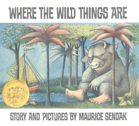
In the book, Maurice’s mother calls him a “wild thing” when he is running around the house causing trouble and therefore banishes him to his room without supper. Maurice imagines traveling a night and a day and in and out of a year to reach an island where he can become king of the wild things. After reading the book, ask students to create their own “getaway” island based on a theme, such as “Pizza Island.” Each island must have at least six geographic features named to represent the theme. For example, Pizza Island may feature a “Pepperoni Swamp,” “Tomato Sauce River,” “Cheese Melt Volcano,” “Anchovy Tundra,” and “Jalapeño Bay.” Even the ocean surrounding the island should be named to fit in with the theme. Students need to develop a map key, a compass rose, and a scale, as well as a title for their getaway island.
Mama, Do You Love Me?
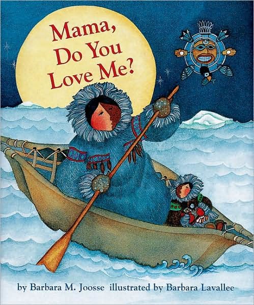 This book shows the environment, animals, clothing, food, travel and shelter of the Arctic region. As you read, have students make a list of all the animals mentioned in the story. Then, ask students to make carvings of an Arctic animal from bars of white Ivory soap. Ivory soap is easy to carve with a plastic knife. Be sure to have newspaper to catch the shavings. Ask students to research their animal and share what they learned with the class.
Me on the Map
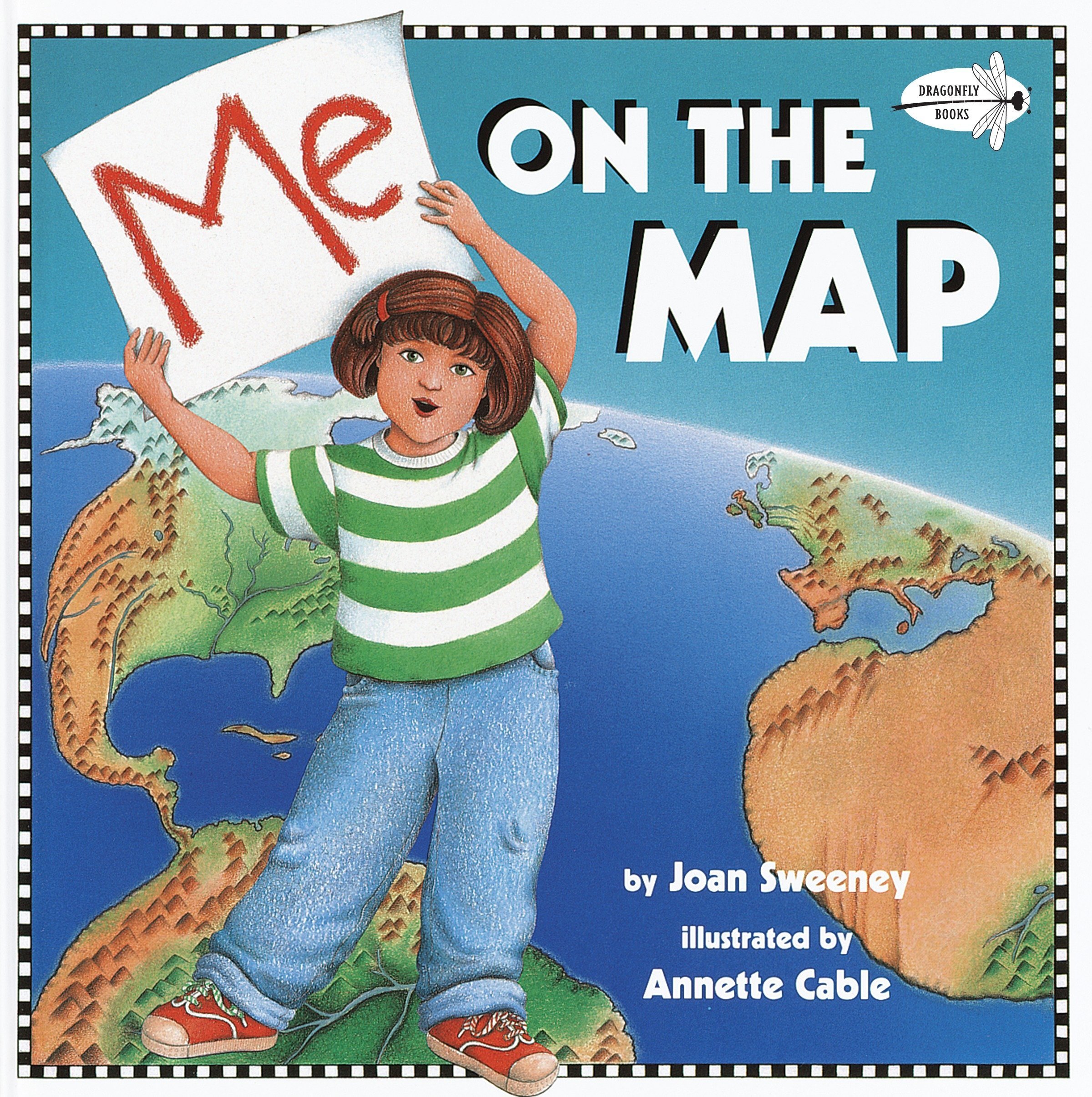 In this introduction to maps and geography, a young girl shows readers herself on a map of her room, a map of her house, a map of her street, a street map of the town, a state map (Kansas), all the way to her country on a map of the world. Then the process is reversed until the girl is back in her room. Use a series of printed maps and stickers of your own area and have the students indicate their locations beginning with the school, the neighborhood, the town, the county, the state, the country, the continent, and the globe.
How to Make an Apple Pie and See the World
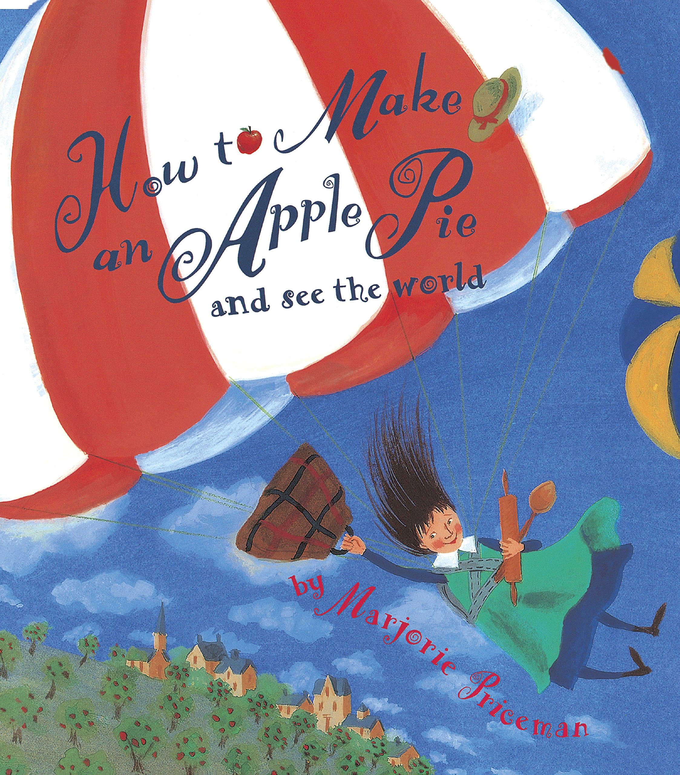 When the market is closed, a young girl travels around the world to collect the ingredients to make an apple pie. She takes a steamboat to Italy to gather semolina wheat, a train to France to get an egg, a boat to Sri Lanka to get cinnamon, a ride to England for fresh milk from a cow, a banana boat to Jamaica to cut sugar cane, and a parachute to Vermont to pick apples. Bonus pieces include a map of the world and a recipe for apple pie. Ask students to bring in their favorite recipes and determine where in the world the ingredients might come from and how they might travel to get there. Following the format of the book, students could create their own books and maps of how to make a particular food.
As the Crow Flies: A First Book of Maps
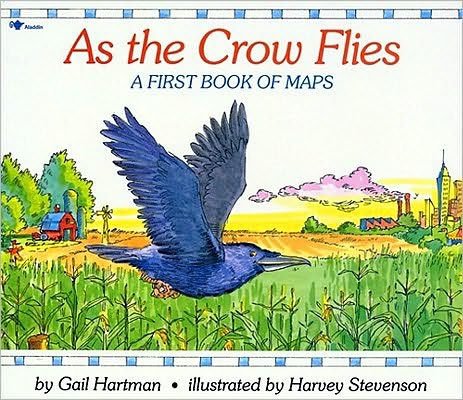
This book uses simple words and pictures to describe different geographical areas from the perspectives of an eagle, a rabbit, a crow, a horse, a gull, and the moon. All maps are joined together to present “The Big Map” at the end of the story. Ask students to imagine that they are stuck to the ceiling of a room in their house or the classroom and must draw a map of the location of all objects in the room from this viewpoint.
In this age of budget crunches that affect school districts, it is beneficial to know that quality children’s literature exists and can be utilized to teach geographic skills. School librarians often welcome suggestions for book orders and may get many of these books if asked. As their awareness of the world grows, children will use their geographic skills to feel a connection with people they have never met and places they have never been. All children love a story, which makes using literature to teach geographic skills a win-win scenario.
Expand geography and mapping skills with Nystrom World
Start your free trial and get your students exploring
Kay Gandy is a retired professor of 17 years and a retired elementary teacher of 27 years. Her goal is to work with teachers in countries around the world and watch movies in foreign theaters. Her books Mapping is Elementary, My Dear and 50 Ways to Teach Social Studies (June 2021) provide practical lesson ideas for elementary teachers.
