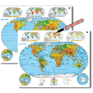
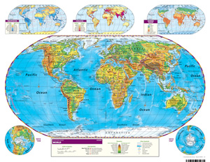
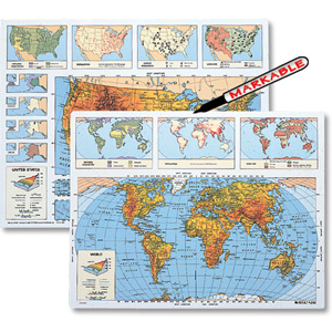
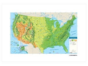
SCULPTURAL RELIEF WORLD DESK MAP
Select your Materials
Connect with a representative to create a custom curriculum for your district.
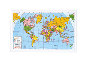
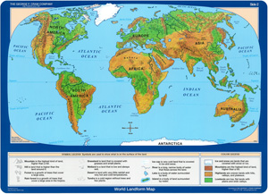
This double-sided desk map uses color to express elevation, while shaded relief gives shape to the elevation information.
Country borders are indicated by unobtrusive lines that leave patterns of physical relief unobstructed. The map is labeled on one side and unlabeled on the other. Other features: capital and major cities, landforms and water features, and latitude and longitude. The durable laminated map measures 17″h x 22″w.
| Size | |
|---|---|
| Publisher | Nystrom |

