Indiana
Indiana educators have needs that are unique and different from other states. That’s why we made this page just for you and your needs as a social studies professional.
Learn more about engaging products made specifically for your state.
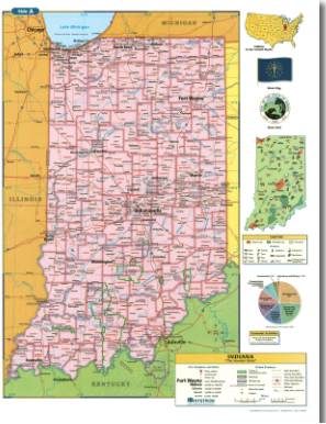
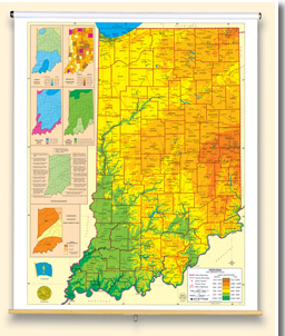
Packs of 30 double-sided, laminated, markable desk maps give students a detailed look at their state. Includes a detailed political map on one side and either a physical or unlabeled map on the other. All maps include a variety of thematic insets showing population density, land use, annual precipitation and more. Desk maps come with a 16-page teacher’s guide with reproducible handout.

This full-featured state map is political with shaded relief; it shows county boundaries, major transportation routes, points of interest, physical features, and capital, major, and sizable cities with population ranges indicated by type size and/or symbol size.

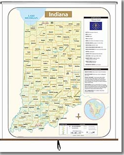
This full-color state map includes shaded-relief topography, county names and borders, major and capital cities, main rivers, and other large bodies of water. It includes insets providing a state flag, a locator map (within North America), a table of statistics, and text with high-interest historical, anecdotal, and geographical information.

Discover More Professional Learning Opportunities
Social Studies School Service utilizes district goals and data to personalize supports, and to develop and facilitate professional learning opportunities that build capacity around instructional practice, resource implementation, teacher transfer, and social studies leaderships.

